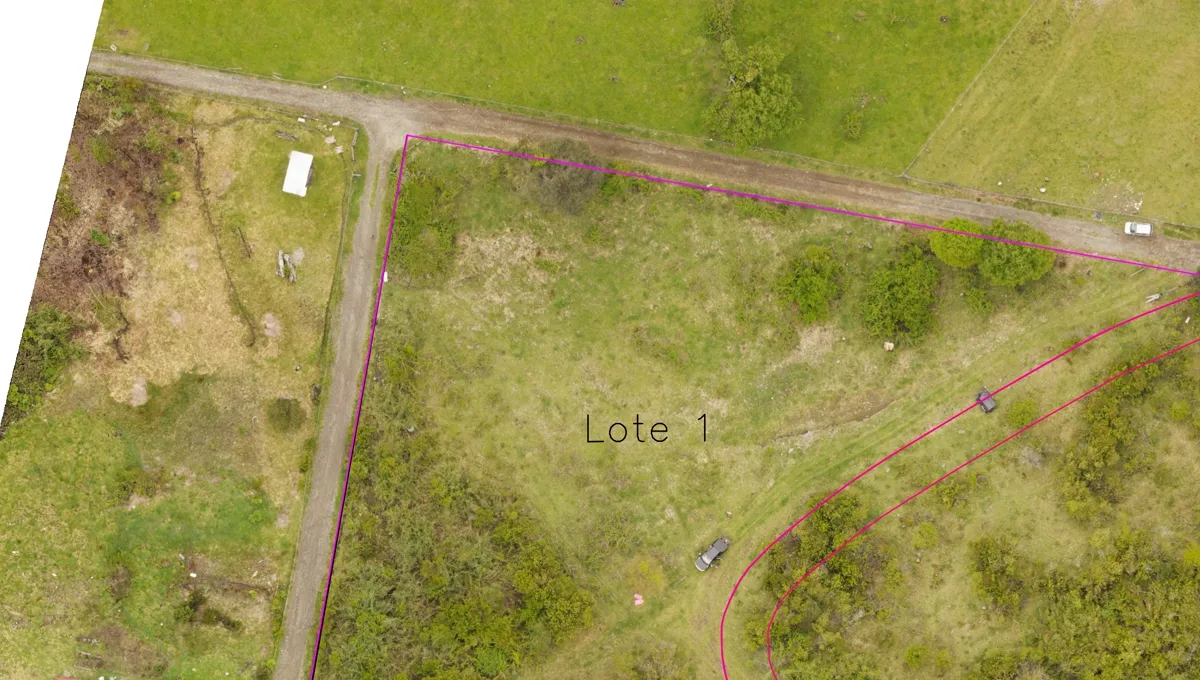
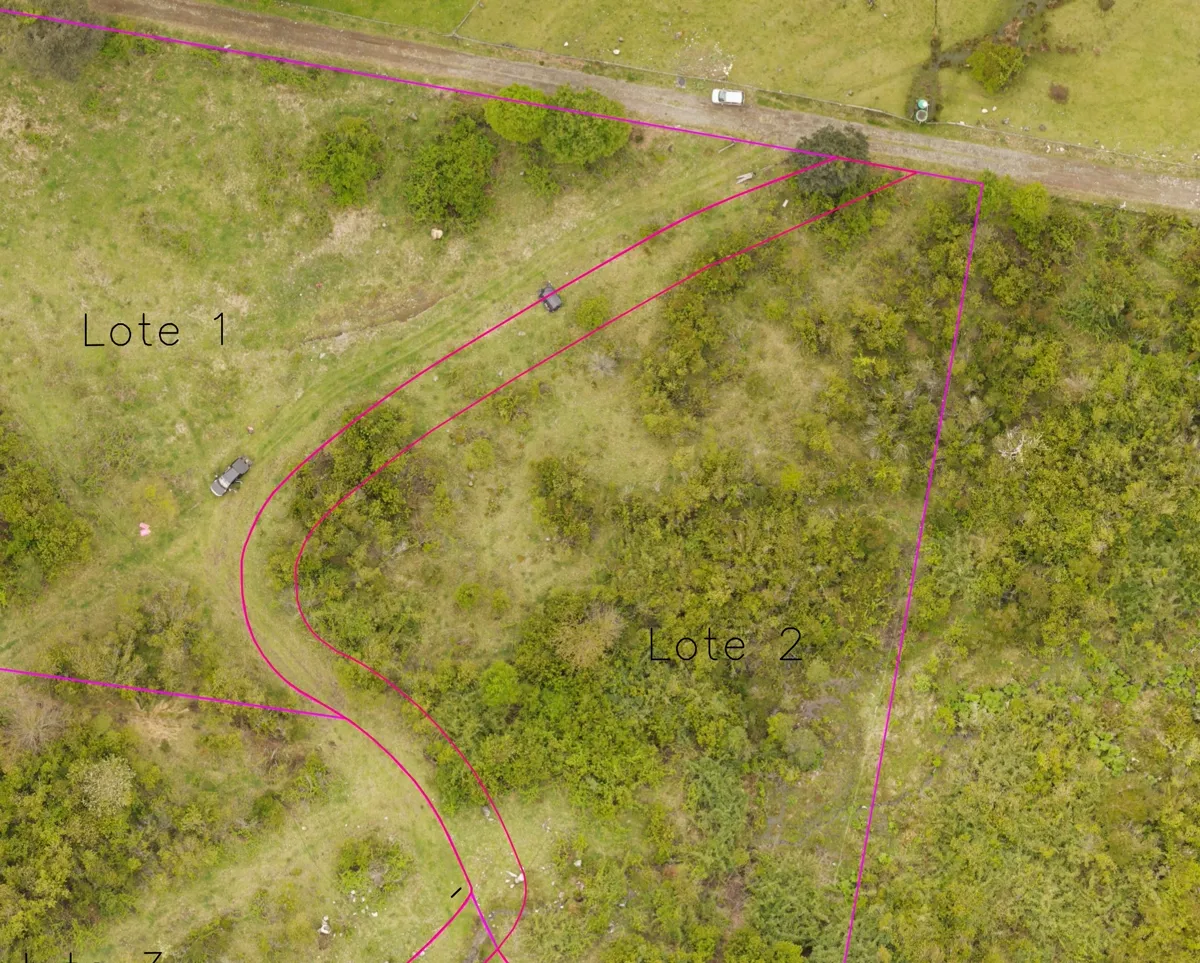
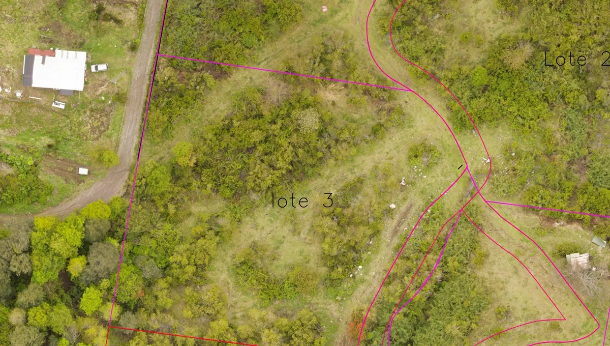
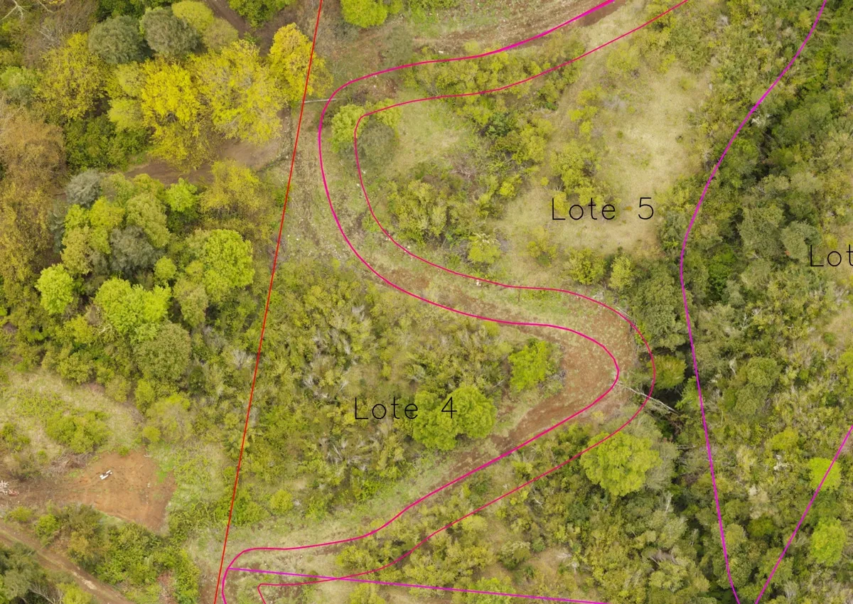
Interactive Finca Riñihue Map
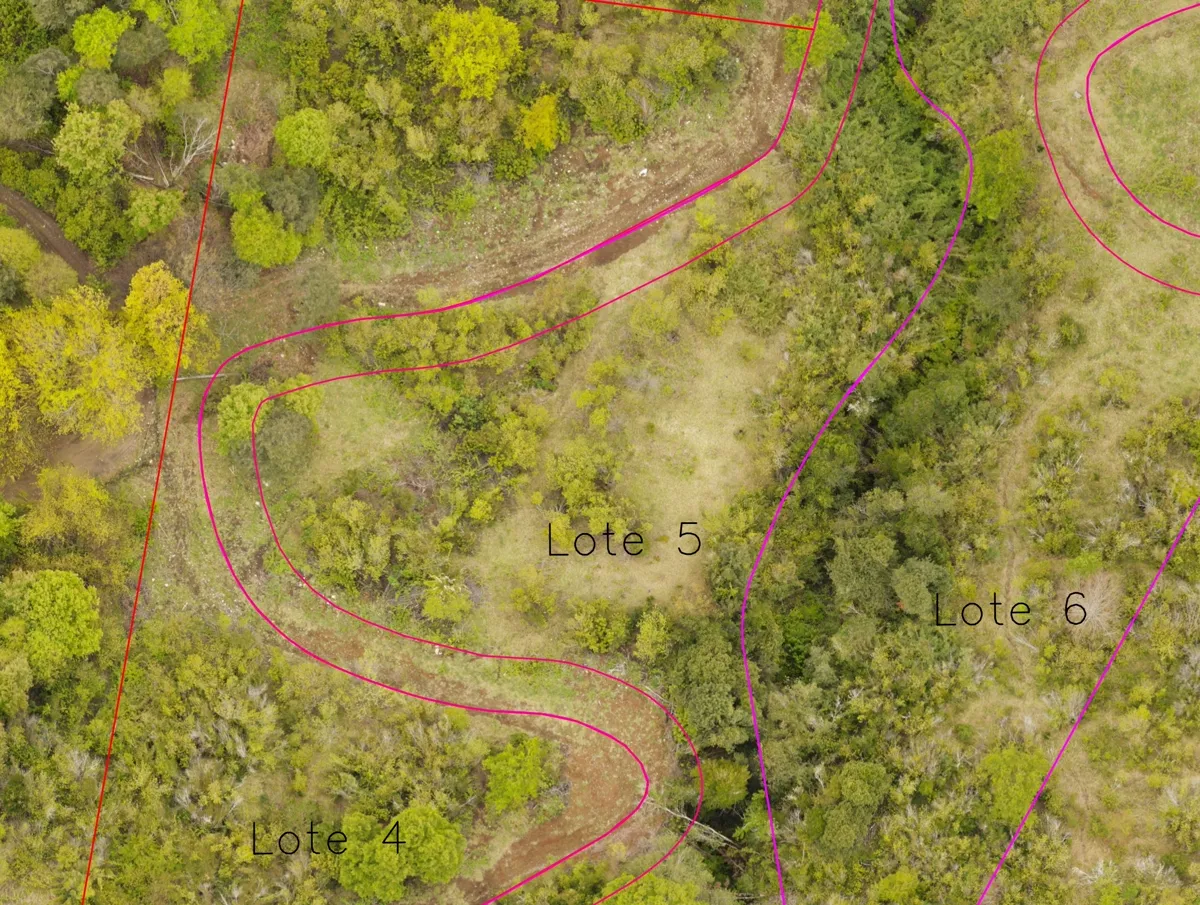
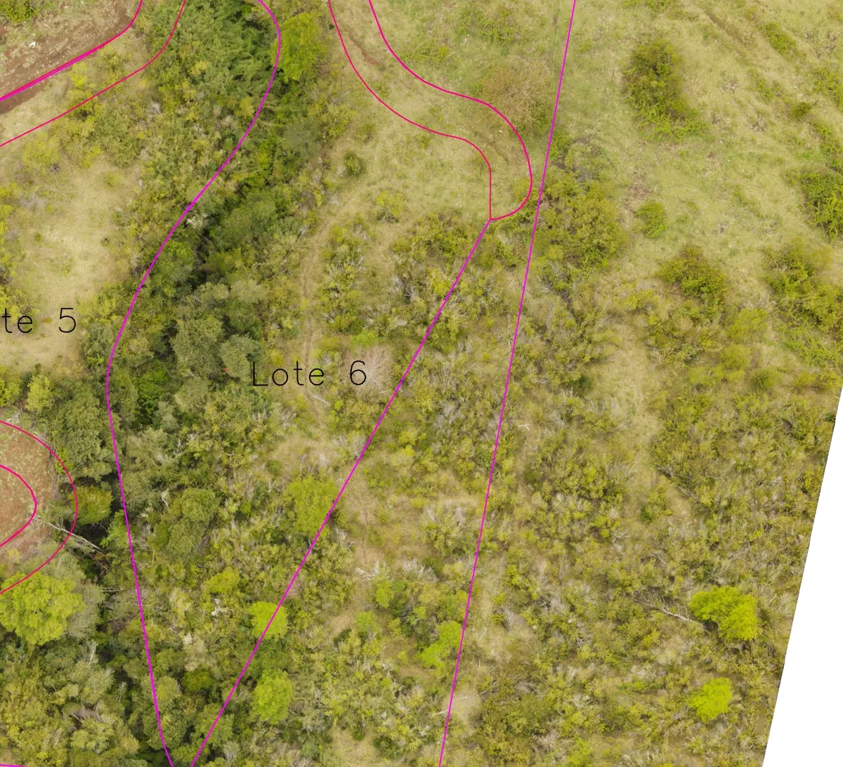
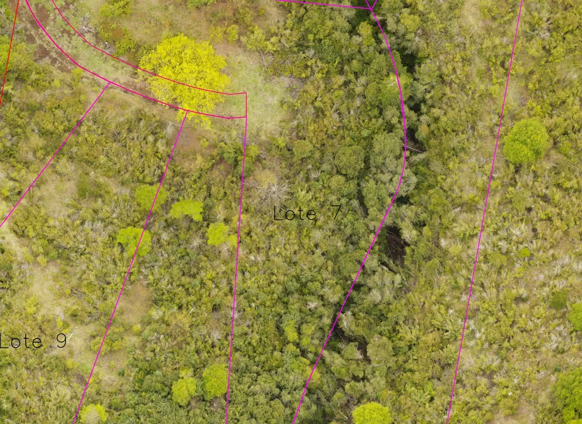
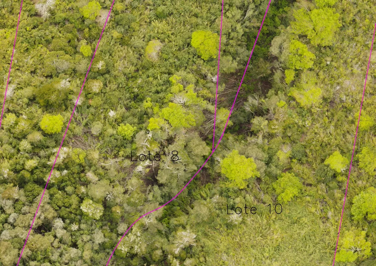
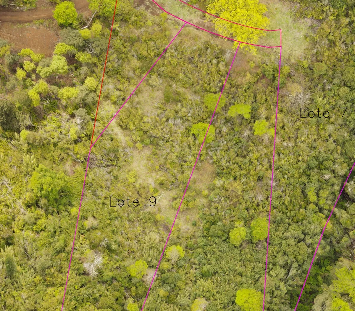
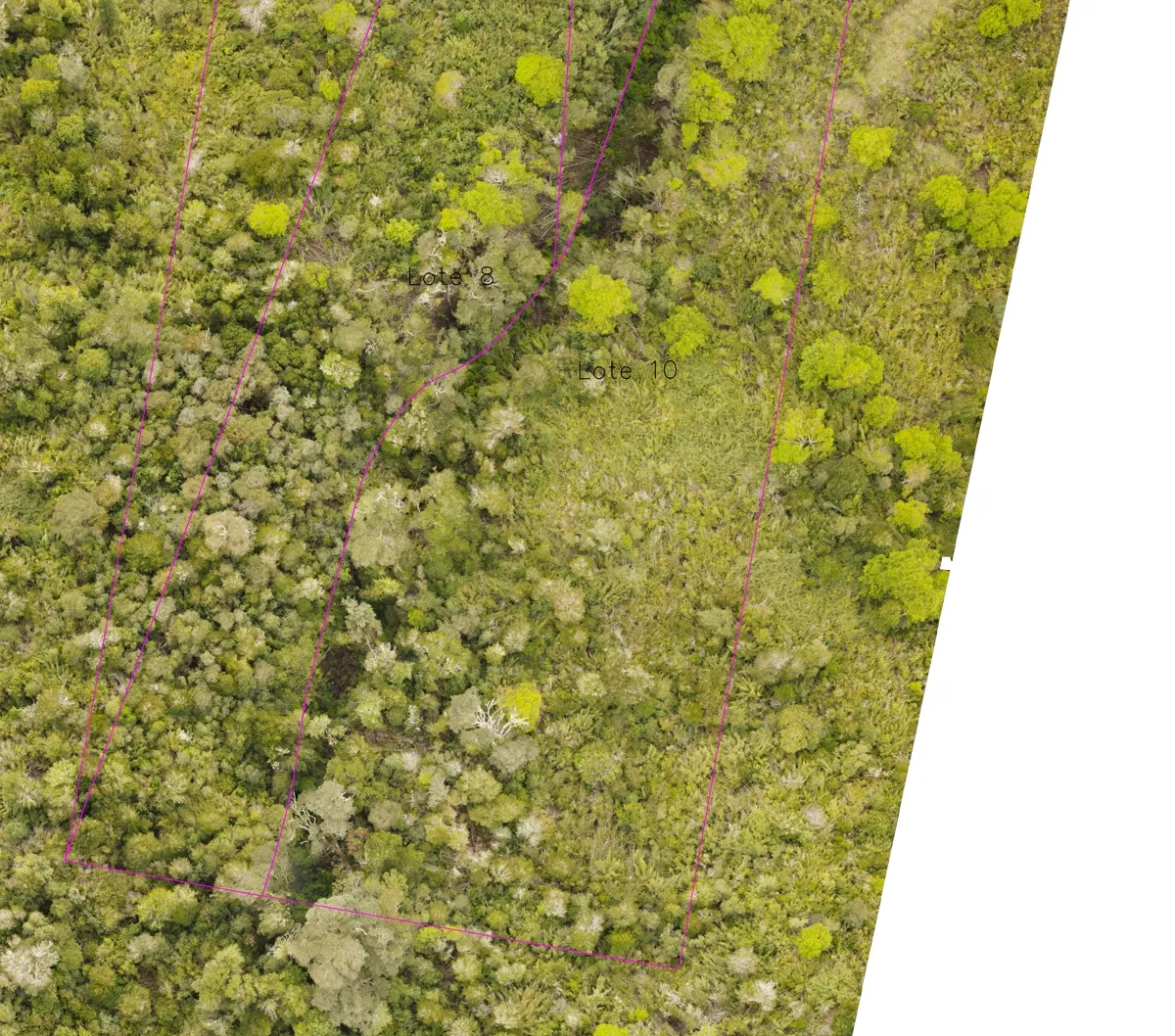
Click on any parcel to view area dimensions and details.
Loading interactive map...
📍 Distances to Key Regional Attractions (Closest to Furthest)
Calculated directly from Flor del Lago Estate (Route T-45 km 7, Riñihue)
Pristine glacial waters, scenic kayaking and serene volcanic sand beaches.
Quiet rural village with local grocery stores, healthcare clinic, school, and public pier.
Source of the San Pedro River, world-class catch-and-release fly fishing and natural swimming pools.
Main regional commercial center with supermarkets, banking, hospital, and schools.
Chile’s primary longitudinal highway providing fast paved connectivity nationwide.
Scenic lakeside town, gastronomy, wide beaches, and gateway to the Seven Lakes Route.
Volcanic complex with glaciers, alpine trekking trails, and backcountry ski-touring.
Ferry crossing across Lake Pirihueico and international mountain pass to Argentina.
Over 100,000 hectares of protected temperate rainforest, massive waterfalls and organic lodges.
World-renowned natural thermal pools nested inside a lush native canyon ravine.
Fluvial capital known for navigable rivers, universities, specialized hospitals, and dining.
Daily commercial flights to Santiago (1h 25min flight time) and international connections.
Vast lake with calm bays, sandy beaches, and traditional southern country lifestyle.
Starting point of Chile’s legendary scenic wilderness highway in Puerto Montt.
All Plots
Purchase Process FAQ
Legal framework · Title deeds · Infrastructure & acquisition